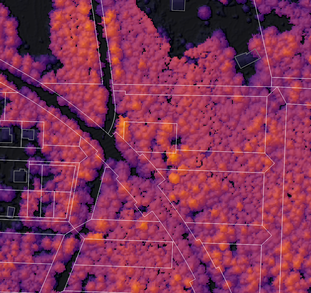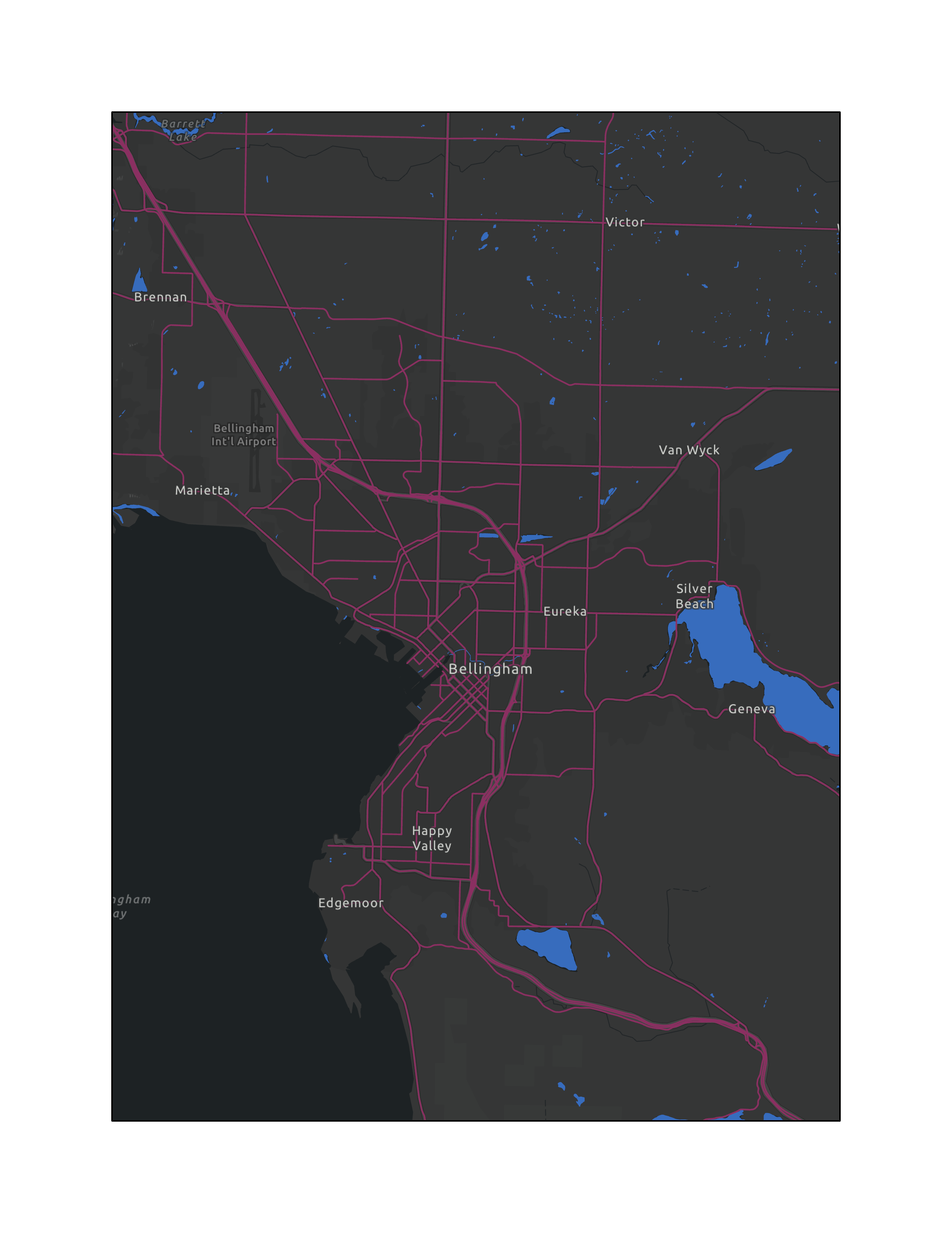
Tree height
QGIS - Ongoing
Using LiDAR data from WA DNR I made several tree height maps of my county.
Earthquakes
ArcGIS Pro - 2021
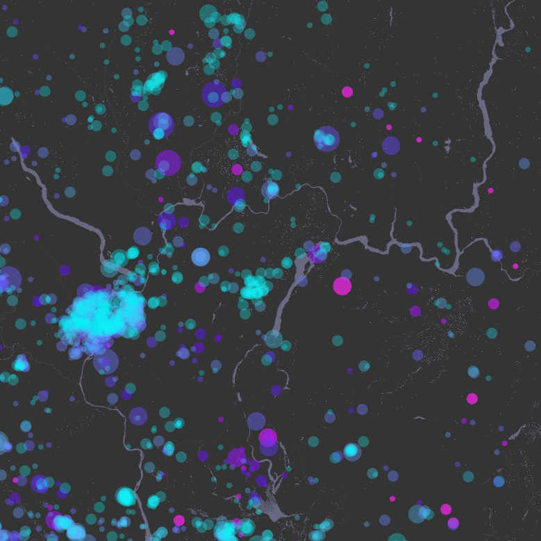
A map of 1 million earthquakes underneath Washington state, colored by depth.
Visit Washington Geology!
ArcGIS Story Map - 2020
A list of geology spots to visit in Washington State.
Click here to openA Visual Seismic History
ArcGIS Story Map - 2020
A survey of major Caribbean and Central American earthquakes.
Click here to openIntersection of Shipping and Marine Protected Areas
ArcGIS Online Web Map - 2020
A map that overlays marine protected areas over shipping traffic.
Click here to openCaribbean Sea
2021
A map series with information about countries around the Caribbean Sea.

Zombies
2020
Class project creating maps for the survivors of a zombie outbreak.
